We tell you all!
Evelity is a turnkey solution built on smooth, intuitive, and inclusive wayfinding technology, designed to adapt to all user profiles. Its operation relies on three simple steps:
1. GPS/IPS Positioning System: the geolocation engine
This hybrid system combines outdoor GPS positioning with precise indoor positioning through IPS (Indoor Positioning System). It allows real-time user localization both outside and inside buildings with high accuracy. This geolocation engine is key to delivering reliable, seamless navigation—even in complex environments.
2. Centralized Administration: the route calculator
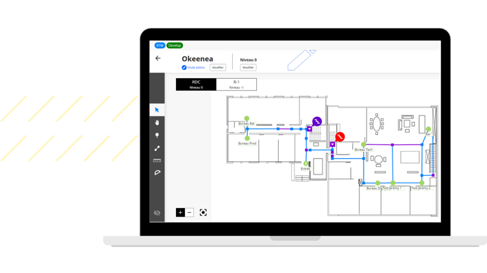
From a centralized management platform, site administrators can configure routes and update information in real time. The route calculator takes into account the specific profiles and needs of each user (reduced mobility, visual impairments, etc.) to provide personalized and optimized itineraries.
3. Wayfinding Application: the user interface
On their smartphone, users access an intuitive interface available in 10 languages. The app offers step-by-step navigation through visual, audio, or haptic guidance, tailored to each person’s profile and preferences. It also includes an offline mode, itinerary summaries before departure, and announces the accessibility features along the route.
And it takes time to set up?
A few weeks only, it depends on the surface to equip!
- Recovery of plans and POI to be covered
- Scouting of the site
- Implementation plan of the infrastructure
- Validation by the client
- Installation of tags and settings
- Creation and routing of locations in the application
- Tests and settings
- It's delivered!